About Us
LiDAR is the Answer
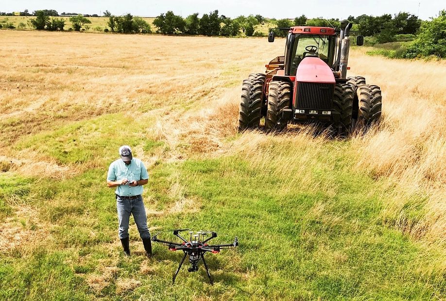
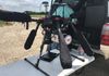
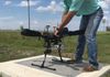
After years of working in the surveying industry, Boog Ferrell (owner/operator of Ferrell Survey Group and two long-established surveying companies in Athens, Texas) found the solution to meet both his companies' needs and the needs of his valued customers. That answer was LiDAR technology.
UAV-borne LiDAR captures more data than previously possible while saving field time in a massive way. There's no comparison between a 50 foot grid and 50 million points. Now the flexibility of gathering rich terrain information with a quick turnaround is here - for engineers, for surveyors, for your next land project.
Feasibility Studies
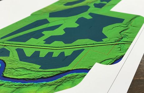
More data = better model.
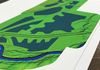
Digital terrain models you can almost feel.
Explore development and land use possibilities
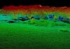
Contour Mapping
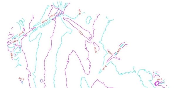
Elevation data to give you terrain information for your project